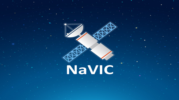
NavIC: India’s homegrown navigation system
- Posted By
10Pointer
- Categories
Science & Technology
- Published
28th Sep, 2022
-
Context
The Indian government is pushing smartphone makers to enable support for its NavIC navigation systemin new devices to be sold in India from next year.
What is Navigation in Indian Constellation (NavIC)?
- Navigation in the Indian Constellation (NavIC) is an Indian Regional Navigation Satellite System (IRNSS), developed by the Indian Space Research Organization (ISRO).
- IRNSS consists of eight satellites, three satellites in geostationary orbit and five satellites in geosynchronous orbit.
- The main objective is to provide reliable position, navigation and timing services over India and its neighbourhood.
- It works just like the established and popular S. Global Positioning System (GPS) but within a 1,500-km radius over the sub-continent.
- It has been certified by the 3rd Generation Partnership Project (3GPP), a global body for coordinating mobile telephony standards.
- It was originally approved in 2006 at a cost of $174 million.
- It became operational in 2018 though missing the completion timeline of late 2011.
Current Usage
- Currently, NavIC’s use is limited.
- It is being used in public vehicle tracking in India, for providing emergency warning alerts to fishermen venturing into the deep sea where there is no terrestrial network connectivity, and for tracking and providing information related to natural disasters.
Strategic significance of NavIC
- India says NavIC is conceived with the aim of removing dependence on foreign satellite systems for navigation service requirements, particularly for “strategic sectors.”
- Relying on systems like GPS and GLONASS may not always be reliable, India says, as those are operated by the defence agencies of respective nations.
- It is possible that civilian services can be degraded or denied.
- NavIC is an indigenous positioning system that is under Indian control.
- There is no risk of the service being withdrawn or denied in a given situation.
Other global or regional navigation systems
- Global
- Global Positioning System (GPS) of the U.S.A.
- Galileo from the European Union
- Russian GLONASS
- China’s Beidou
- Regional
- QZSS covers the Asia-Oceania region, with a focus on Japan.