October Storm in Bay of Bengal
- Posted By
10Pointer
- Categories
Environment
- Published
22nd Oct, 2022
-
Context
The first Tropical Cyclone of the post-monsoon season of 2022 is likely to form in the Bay of Bengal on October 24 and will be called Sitrang.
- The last October cyclone in the Bay of Bengal was Titli in 2018.
About
- The months of October-November and May-June see storms of severe intensity develop in the North Indian Ocean — comprising the Bay of Bengal and the Arabian Sea — with an average of five developing in a calendar year.
- In the past 131 years, October saw 61 storms develop in the Bay of Bengal.
- In comparison with the Bay of Bengal, only 32 storms have developed in the Arabian Sea in October since 1891.
Reasons
- After the withdrawal of the Southwest monsoon, there is a rise in ocean heating, which leads to rise insea surface temperature over the Bay of Bengal.
- The atmospheric moisture availability over the ocean region, too, is higher.
- So, when remnant systems from the South China Sea reach the Bay of Bengal, they get conducive conditions, aiding the formation and intensification of cyclones in October,”
- In some years, ocean-atmospheric factors hinder this phenomenon.
- For instance, in 2020, weak La Nina conditions along the equatorial Pacific Ocean prevented a cyclonic formation near India’s coasts.
About Cyclone Sitrang
- The name Sitrang (read Si-trang) has been given by Thailand, and features in the list of tropical cyclone names prepared by the Regional Specialised Meteorological Centre (RSMC) being followed since April 2020.
Impacts
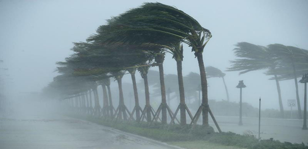
- The prevailing low pressure system will strengthen and move towards India’s east coast in the coming four days.
- Gale winds and enhanced rainfall are expected mainly over Andaman and Nicobar islands, Odisha, West Bengal and Bangladesh, particularly the coastal districts.
What is a Tropical cyclone?
- It is a rapid rotating storm originating over tropical oceans from where it draws the energy to develop.
- It has a low pressure centre and clouds spiralling towards the eyewall surrounding the "eye", the central part of the system where the weather is normally calm and free of clouds.